The dramatic southeastern tip of the Peloponnese — a treeless headland where two seas meet. A monastery at the very tip, a lighthouse, and one of the most exposed coastal roads in Greece.
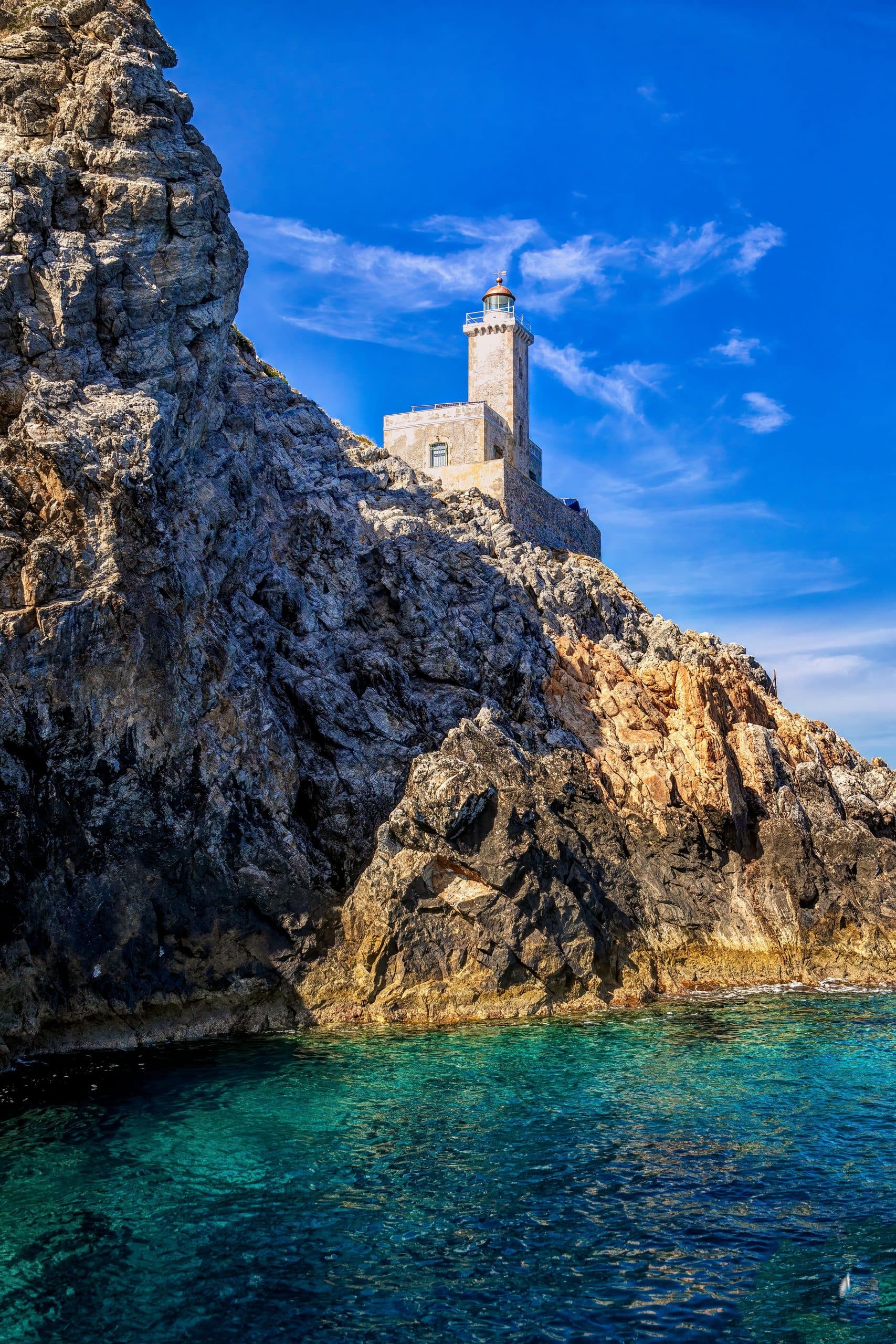
Cape Maleas is one of the three great southern capes of Greece (with Tainaron and Akritas) — the southeastern tip of the Peloponnese, a 30-kilometre treeless peninsula falling into deep, current-streaked water.
The drive is the first half of the experience: from Neapoli a small road climbs over the mountain and drops to Velanidia, the last village — stone houses in a gorge above the Aegean, one kafeneio that is not always open, and the end of the asphalt. Beyond it there is no fuel and no taverna. A drivable dirt track runs on for three and a half kilometres to the chapel and spring of Agios Thomas; from there the marked path drops to the lighthouse of 1883 in about an hour and a quarter, with no shade on the way. The lighthouse itself is not open to visitors, but the rocks around it are the end of the land: wind that can knock you over, and a sea that changes colour every ten metres as the currents swirl. At the very tip stand the old monastery of Agia Irini and the cliff-chapel of Agios Georgios — a different, longer walk from Agios Nikolaos village by way of Agia Marina; the cells are looked after by the Friends of Cape Maleas association and opened by arrangement. Bring water, snacks, sturdy shoes and a windproof. Pair with a Cape Maleas day-trip from Monemvasia — out at 08:00, lighthouse by late morning, a late lunch on the Neapoli seafront.
A Cape Maleas day from a Monemvasia base.
South on the road to Neapoli and the smaller villages — forty minutes.
Top up the tank, buy water and snacks. The last fuel for the day.
Twenty-five minutes on, the last village — stone houses in a gorge above the sea, one kafeneio that is not always open. The asphalt ends here.
Three and a half kilometres of drivable dirt track beyond the village end at the chapel and spring of Agios Thomas. Boots on, water in hand — there is no shade on the cape.
The marked path (National Path 33) drops to the cape in about an hour and a quarter each way. Wind, current-streaked water below, the empty Aegean. The lighthouse itself is not open to visitors; sit on the rocks.
Back along the track and down to the waterfront — the tavernas on the Neapoli seafront, a long slow lunch.
North along the coast, low west light on the headlands. Forty minutes.
An ouzo on the Lower Town terrace, dinner at 21:00. The cape day is long but feels like an event.
Within an hour.
Thirty-five minutes north of the track's end — the regional small town with fuel, a supermarket, and a long beach. The mandatory top-up stop.
Twenty-five minutes south-east of Neapoli — the last village, with one kafeneio and no taverna; the track to the lighthouse path starts here.
One hour and fifteen minutes north — the standard base. Detail on the Monemvasia page.
An hour west to the ferry — easily combined as a single eastern coast loop. Detail on the Elafonisos page.
Two and a half hours north on the inner Parnonas coast — too far for a single trip, but the eastern Laconia pairing.
Tell us a little about the trip you want — pace, who's coming, how you'd like to spend your mornings. We'll build the days.