The 2,224-metre limestone ridge that closes the western Peloponnese — fir-forested slopes, traditional stone villages on its skirts, and the slopes where, in myth, Hercules caught the Erymanthian boar.
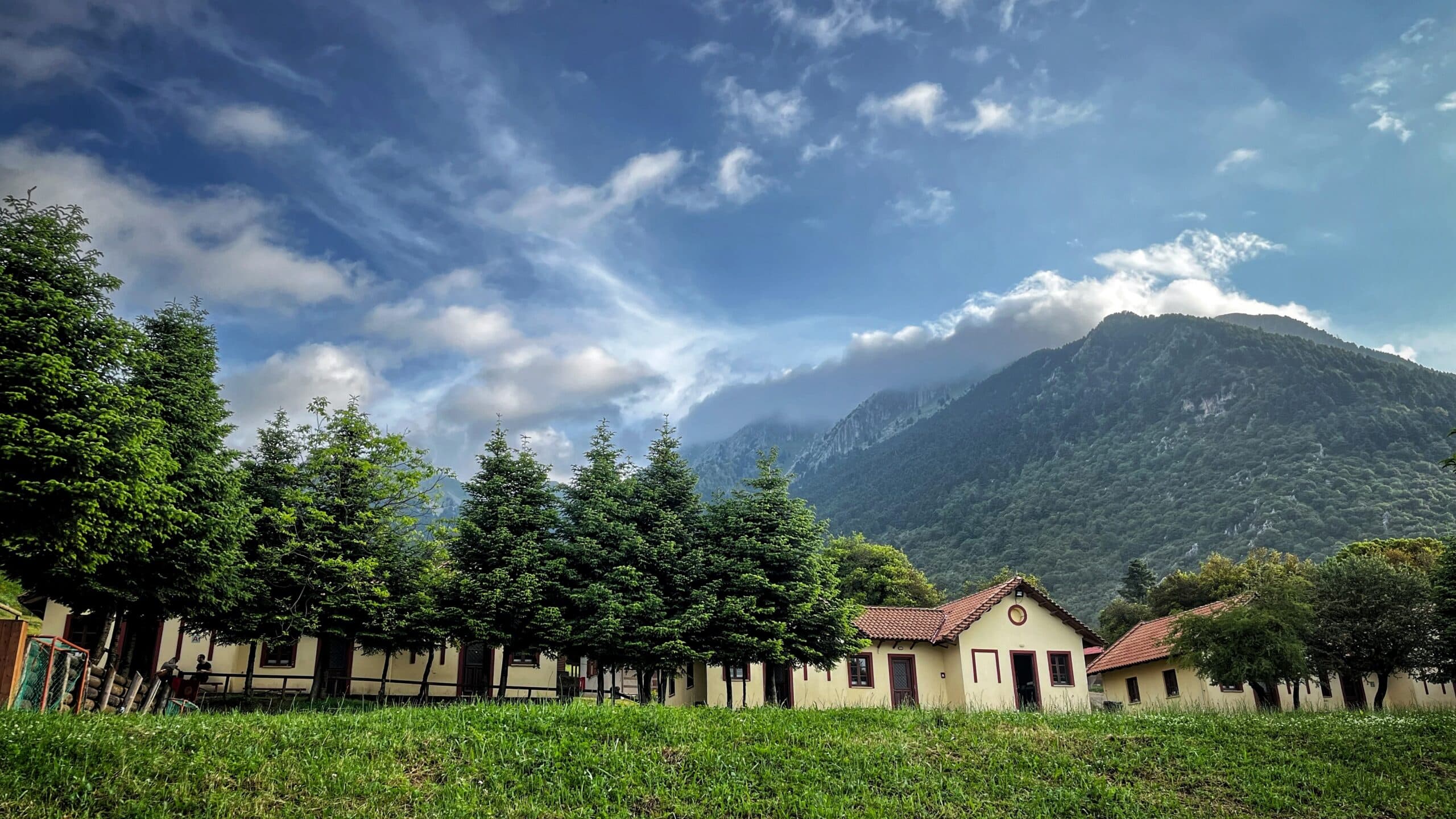
Erymanthos is the wildest of the great Peloponnesian mountains. It is also the least developed: no ski resort, no telescope, no cog railway. Just stone villages on the skirts and long ridge paths above them — the full crossing takes two days.
In summer the forest below 1,800 m is dense Greek fir; above the treeline the limestone is bone-bare and full of holes. Mountaineering clubs cross the summit over two days from the Achaia side, camping on the Olonos plateau. Lampeia (the old Divri) on the southern flank, and Kalentzi and Kato Vlasia on the Achaia side, make good bases.
A summer day around Lampeia, in early September. The fir forest is at its quietest.
The kafeneia are in the Agora quarter, the village’s main street. Lampeia was called Divri until 1928; its seven quarters climb the slope, each with its own church.
Up in the Gkroustades quarter, in its cemetery: a 14th-century domed church, a listed monument since 1999, with wall paintings from the 14th and 17th centuries.
From the Pera Mahalas quarter, about 3 km and an hour on foot, first on a paved road, then on a dirt track through the fir forest, to the monastery of Panagia Chrysopigi, whose church has wall paintings. Its feast day is 8 September.
Twenty minutes south-west on the oak plateau: a family taverna since 2002. Greens pie, goat and lamb with oregano, rooster with noodles.
Thirty-five minutes on. From Nemouta village a dirt road of about 3 km, fine for an ordinary car, ends at a metal bridge over the Erymanthos; a path along the bank reaches a 20-metre cascade in a few minutes. There are no signs. The water is cold and clear.
Forty-five minutes back. To Balkoni has the view, local grilled meats and stews.
The mountain is large. The villages on the skirts are small. The peak is a single line.
Divri until 1928: 358 people (2021) in seven quarters stepped up the slope, with firs up to the highest houses. It has the 14th-century church of Agia Triada and the Petralias mansion, now a centre for culture and the environment that opens by arrangement with the municipality.
In Achaia, on the slopes of the mountain, an hour and five minutes by road from Patras: the Papandreou family’s home village, where Georgios Papandreou was born, with the monastery of Agioi Pantes and the small Poros gorge. 276 people (2021).
Stone houses stacked up a steep hill under the church of Agios Vlasios, above the Selinountas river, at about 800 m; 35 minutes from Kalavryta. In July 1827 Greek fighters under Vasileios Petimezas fortified the nearby monastery of Agios Nikolaos against a larger Ottoman force.
Forty-five minutes south of Lampeia: from Nemouta village a 3 km dirt road, fine for an ordinary car, runs to a metal bridge over the Erymanthos; a path along the bank reaches a 20-metre cascade in a few minutes. No signs; cold, clear water for a summer swim.
Twenty minutes south-west of Lampeia: the plateau of broadleaf oak (Quercus frainetto), walked on the Tie Trail and other forest paths. Detail on the Foloi page.
Tell us a little about the trip you want — pace, who's coming, how you'd like to spend your mornings. We'll build the days.